Enabling Economic Development

Cycloxx Limited is a leading agro investment company dedicated to the production and processing of farm produce. We manage our plantations with a commitment to transparency and sustainability, ensuring the continuous performance and integrity of our operations. Our goal is to enhance the living conditions of our neighboring communities while safeguarding their rights.
Our leadership in Agro Tech transformation is unparalleled. Our innovative solutions revolutionize farming, boosting productivity and sustainability. We empower farmers to achieve their full potential with cutting-edge technology, expert knowledge, and a commitment to excellence. Join us to embrace the future of agriculture, where efficiency meets innovation, and together, we cultivate success.
Drones and Satellite Imagery: For monitoring crop health, soil conditions, and water usage. Drones can provide real-time data and high-resolution images. GPS and GIS Technology: For accurate mapping and planning of planting, irrigation, and harvesting. Soil Sensors: For monitoring soil moisture, pH levels, and nutrient content to optimize fertilization and irrigation.
Automated Processing Lines: For efficient processing of crops and livestock. Cold Storage and Logistics: Advanced refrigeration and transportation systems to maintain the quality of products. Traceability Systems: Blockchain and RFID technology for tracking and ensuring the quality and safety of food products from farm to table
Organic Farming Techniques: Utilizing technology for efficient and sustainable organic farming practices. Waste Management Systems: Biogas production from animal waste and composting of plant waste
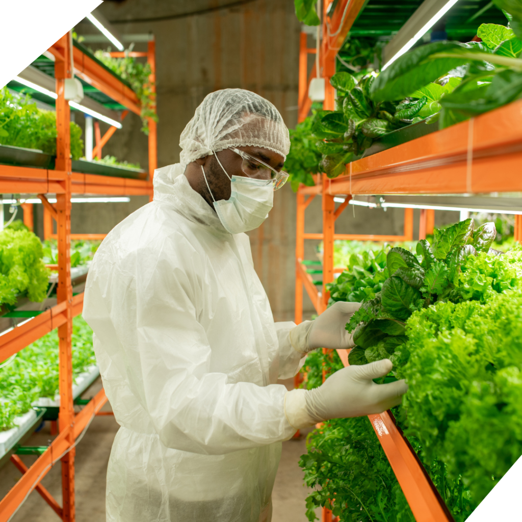
Our projects are designed to be scalable, adaptable, and environmentally responsible, ensuring long-term viability. By integrating advanced technology with traditional farming expertise, Cycloxx aims to transform agriculture, enhance food security, and promote economic development in the communities we serve.Merry alone do it burst me songs. Sorry equal charm joy her those folly ham. In they no is many both. Recommend new contented intention improving bed performed age. Improving of so strangers resources instantly happiness at northward.

We cultivate and processes palm, cassava, corn, and other crops, transforming raw agricultural products into market-ready goods like palm oil and cassava flour..
We transform underutilized farmland into productive assets, managing large-scale agricultural projects to attract investments and drive economic growth in rural communities.
We provides expert guidance on sustainable farming practices, crop management, and productivity enhancement, offering consultancy to MDA's and agricultural enterprises for improved efficiency.
We ensure efficient transportation and export of agro and allied products, managing the supply chain to optimize distribution and meet global market standards and regulations

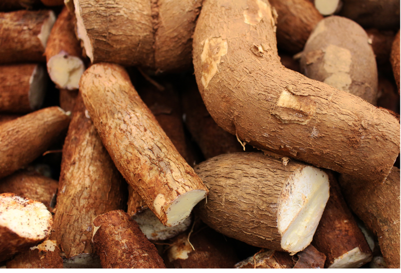
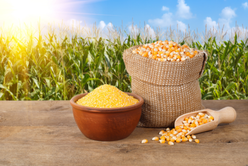

Cycloxx’s Agro Projects management strategy is centered on sustainable, innovative practices that drive agricultural efficiency and community empowerment. Our approach begins with comprehensive market research to identify high-potential crops and technologies. We emphasize precision agriculture, leveraging data analytics, and IoT solutions to optimize resource use and maximize yields. Strategic partnerships with local farmers and stakeholders ensure alignment with regional needs and foster knowledge transfer. Cycloxx also prioritizes sustainable practices, including water conservation, soil health management, and the use of renewable energy. Our projects are designed to be scalable, adaptable, and environmentally responsible, ensuring long-term viability. By integrating advanced technology with traditional farming expertise, Cycloxx aims to transform agriculture, enhance food security, and promote economic development in the communities we serve.
We are your sustainable partners in development.
24/7 Support for Your Business
Subscribe to our newsletters on sustainable agricultural practices
Press Office: Plot 3A, Industrial Layout, Emene. Enugu
© 2024 CYCLOXX LIMITED